Drone-Based Landslide Monitoring at Merrywood Coal Mine
Ongoing landslide monitoring has been initiated at the former Merrywood Coal Mine following the discovery of substantial ground displacement after a large rainfall event in October 2022.
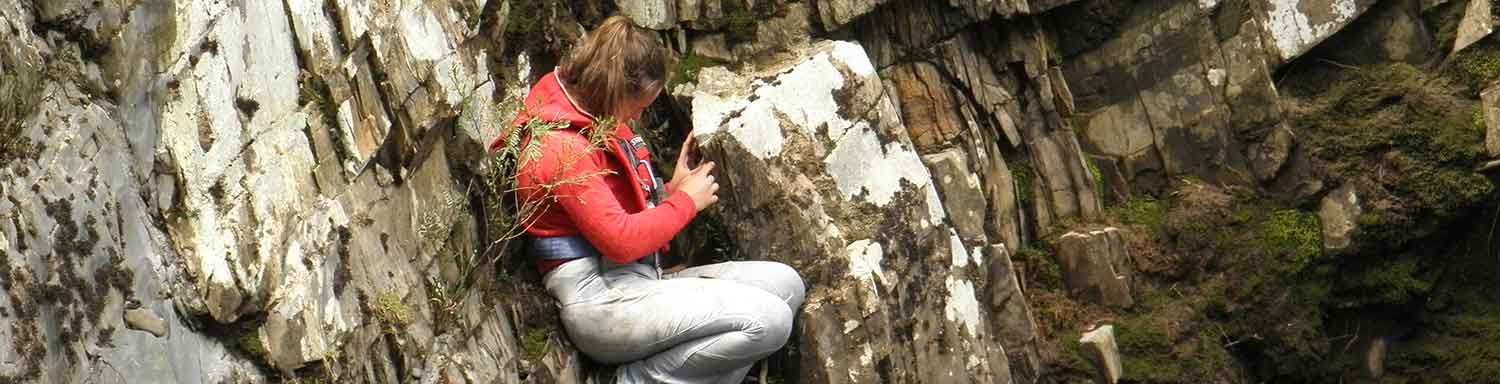
In addition to traditional monitoring techniques, which require on-site investigations, material resources, and physical measurements, Mineral Resources Tasmania is using drone-acquired data to better understand and track the movement of the Merrywood landslide.
The use of drones to collect high quality local photogrammetry and LiDAR data allows for whole-area analysis of ground movements. The collection of RTK (survey-grade) photogrammetry provides the ability to scan the entire area to detect surface changes quickly and accurately. In addition, drone-acquired LiDAR data can assist in better understanding the dynamics of landslide movement, determining features that may contribute to slope instability, analysing 3D displacements, and calculating the rate and magnitude of movements over time.
Drone-acquired data, in conjunction with geological, meteorological, and site-specific information, provides us with the tools to best manage risk and predict future landslide activity.
Mineral Resources Tasmania will continue to monitor the landslide as part of ongoing rehabilitation management of the Merrywood Coal Mine.

Comparison of photogrammetry from November 2022 (left) to March 2023 (right)