Legacy mines weed management
Published:
Updated:
MRT Rehabilitation Officers have been overseeing implementation of weed management activities across Tasmania’s legacy mine sites this month, focusing on the Sisters Hills quarry and Storys Creek mine while expanding monitoring across other historical leases.
Rehabilitation at Sisters Hills began in 2010, combining revegetation and targeted weed control. Natural State, contracted by MRT, has led the implementation of the Sisters Hills Weed Management Plan since 2018, and recent monitoring shows significant success.

Comparative arial imagery of Sisters Hills Quarry Site MA1, 2009 (right) and 2024 (left).
Species such as Blackberry (Rubus fruticosus), Blue Butterfly Bush (Buddleia sp.), Spear Thistle (Cirsium vulgare), and Montbretia (Crocosmia sp.) have been eradicated from the site. However, Pine (Pinus radiata) and Pampas Grass (Cortaderia selloana) continue to recruit and require ongoing management. The greatest long-term threat remains Spanish Heath (Erica lusitanica), which is encroaching from roadside infestations along the Bass Highway. MRT will continue to manage the site to see further reduction in weed occurrence.
In the northeast, MRT Rehabilitation Officers mapped Ragwort (Senecio jacobaea) at the historic Storys Creek mine following reports of increased presence. Ragwort, a declared weed under the Tasmanian Biosecurity Act 2019, is subject to a statutory eradication plan. Mapping in February 2025 indicated distribution across approximately 8 ha of the historical Storys Creek mine and tailings dump. The Abandoned Mines Rehabilitation Trust Fund (RTF) facilitated control in autumn 2025 targeted first-year rosettes to reduce flowering in summer 2025/26. This month’s monitoring indicated that germination from the seedbank persists but overall density appears reduced. Follow-up treatment is scheduled for January 2026.

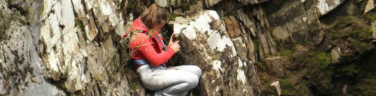
Ragwort (Senecio jacobaea) as observed in-situ at Storys Creek, February 2025.
Weed mapping also continued across the historical Aberfoyle Mine site northeast of Rossarden, identifying woody weeds for future management. MRT is actively reporting observations through the Tasmanian Government’s Natural Values Atlas (NVA), a publicly available platform providing comprehensive biodiversity and geodiversity data, including information on more than 50,000 plant and animal species.

NVA interface detailing distribution of Ragwort (Senecio jacobaea) at the Storys Creek mine.
MRT’s integration of shared weed management data into the NVA expands species records and distribution maps, enabling biosecurity and land managers to track invasive species, prioritise control, and shape policy. This data-driven approach delivers better conservation outcomes and provides a single, reliable reference for coordinated strategies to protect Tasmania’s natural environment.
MRT through the Rehabilitation Trust Fund (RTF) will continue to undertake weed control and monitoring at legacy mines sites on Crown land, working closely with management authorities such as PWS, STT, and NRE to deliver positive rehabilitation outcomes.